
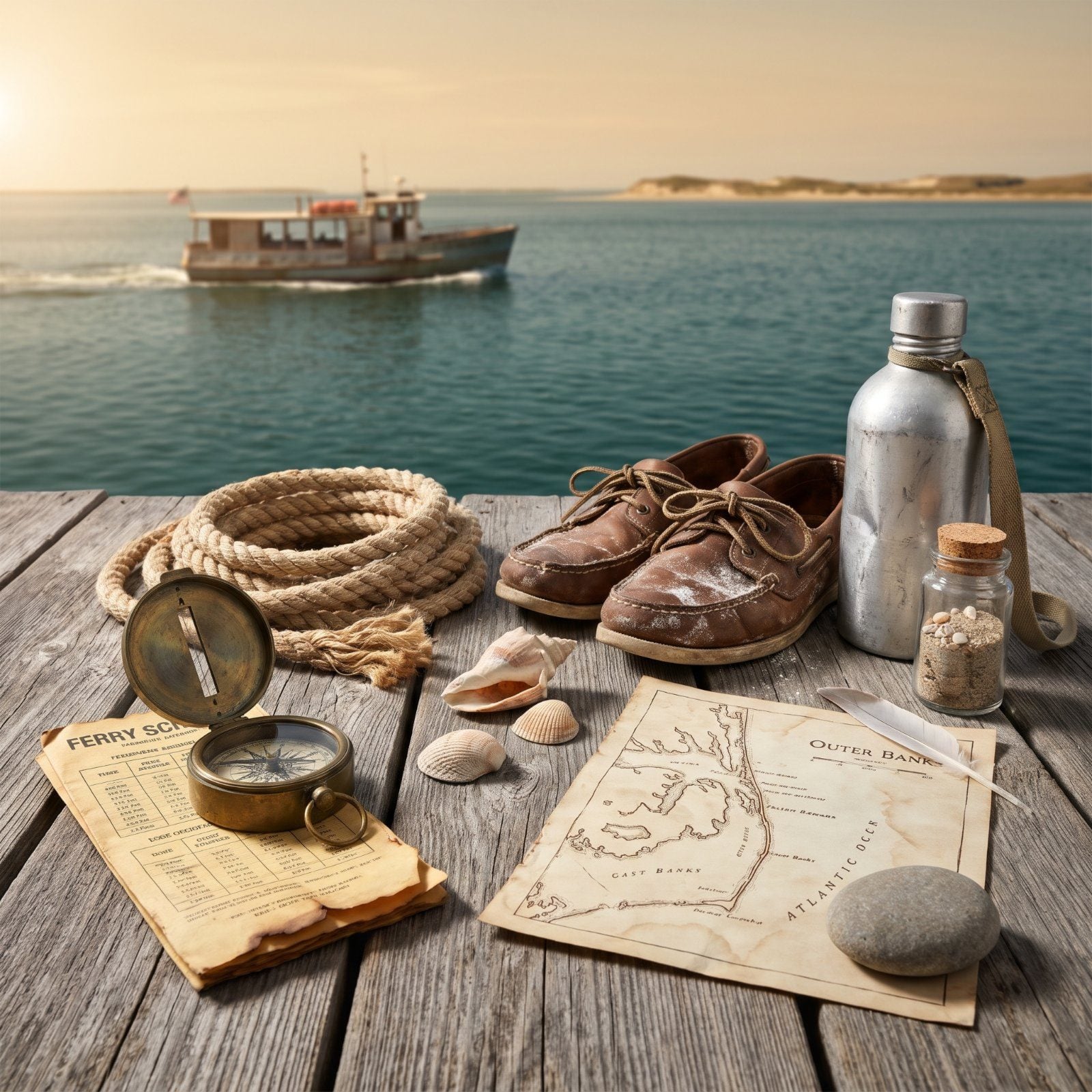
Sometimes there’s no bridge at all. Some of the best places on the North Carolina coast make you work for them, and the work is exactly the thing. You wait for a boat, air down your tires, pack everything you’ll need because there’s no store for miles. What you get back is a shoreline that doesn’t care what year it is, where wild horses outnumber people and a mailbox in the dunes holds strangers’ confessions. These are the places that still feel cut off, the way the whole coast used to feel before the causeways came.
17. Ocracoke Island: The One You Can Only Float To
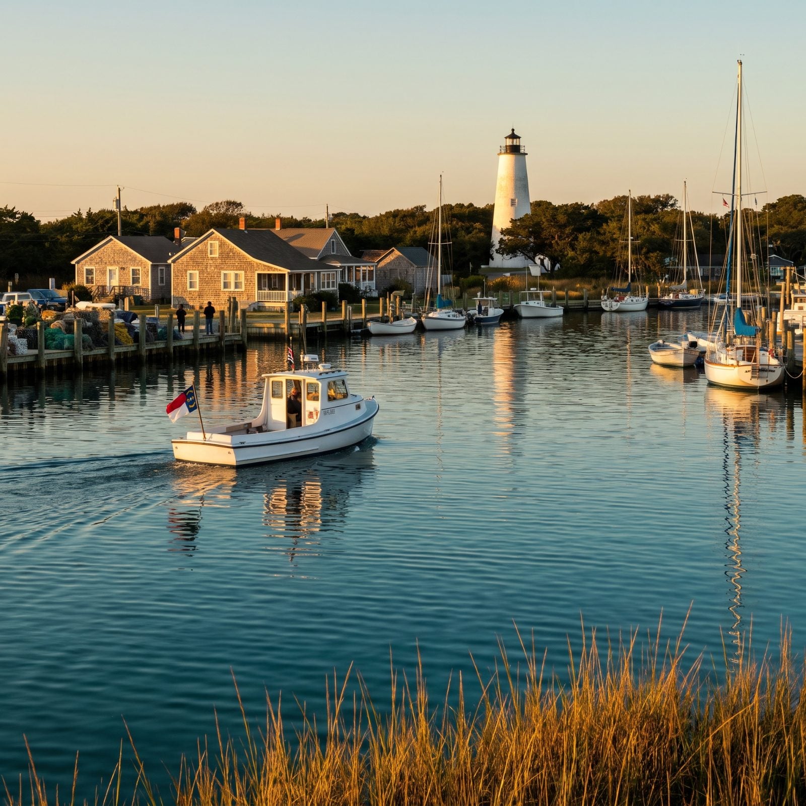
You cannot drive to Ocracoke. There’s no bridge, and there never has been. You come by ferry, by private boat, or by a small plane that lands at the island’s little airstrip — and that one fact has kept the island stubbornly itself.
Three state ferries make the crossing. The Hatteras run is free right now and takes about an hour, first-come first-served, so you wait in your car and watch the water. Cedar Island runs roughly two hours and fifteen minutes and needs a reservation. Swan Quarter is the long haul, close to two hours and forty-five minutes. Come summer, the Ocracoke Express passenger ferry drops day-trippers right into the village at Silver Lake, no car required.
The lighthouse here was finished in 1823, the oldest one still working in the state. Out on NC 12, the Park Service keeps a small herd of Banker ponies at the Pony Pen. Fewer than twenty horses left. Don’t expect a stampede.
16. Bald Head Island: Leave the Car in Southport
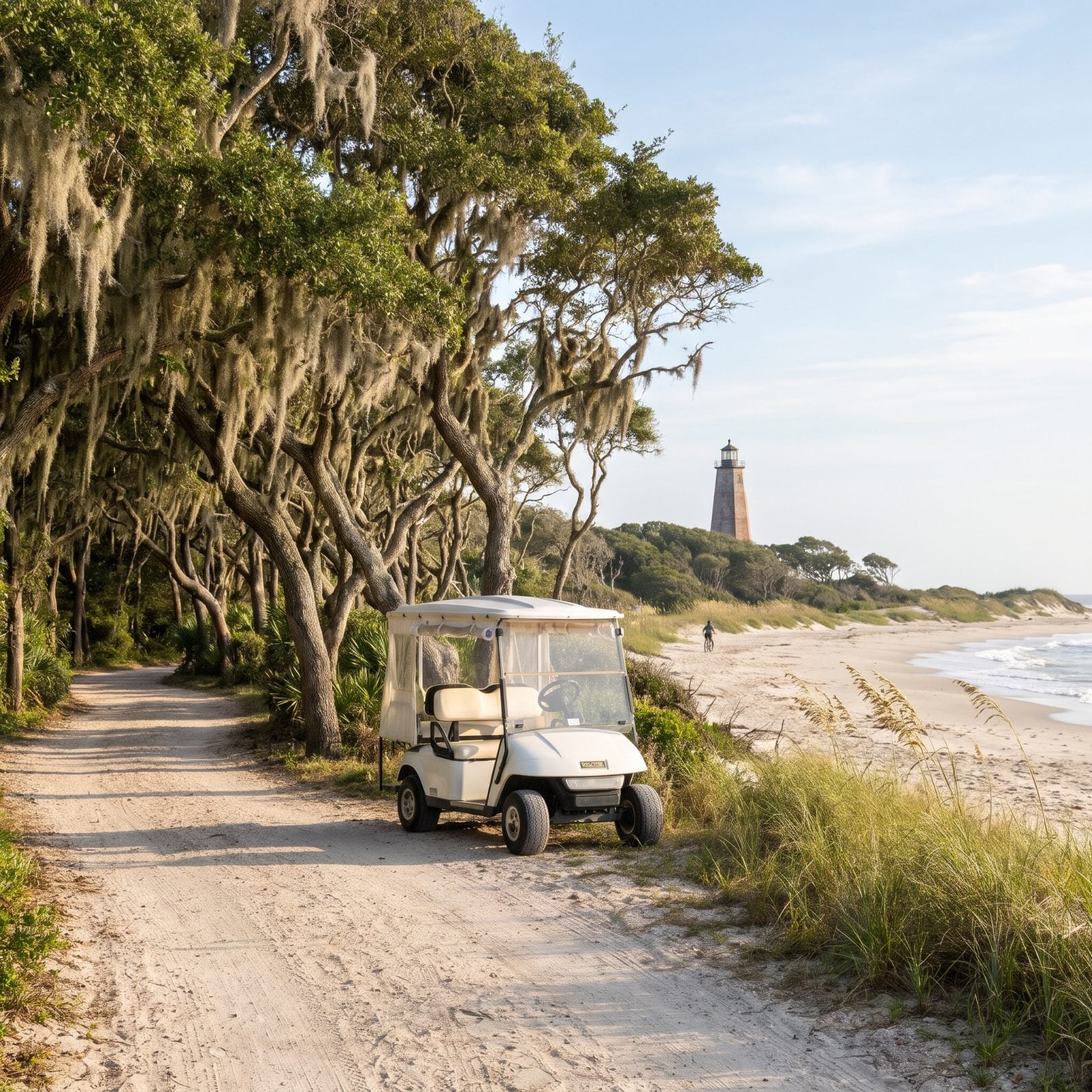
No cars. Full stop. On Bald Head Island you get around by electric cart, bicycle, or your own two feet, and the quiet that creates is something you feel in your chest about twenty minutes after you arrive.
The passenger ferry leaves from Deep Point Marina at 1301 Ferry Road in Southport, and the ride lasts about twenty minutes. On the far end: roughly fourteen miles of beach, salt marsh, tidal creeks, and a maritime forest preserve thick with old oaks. The Old Baldy Foundation runs historic cart tours of the whole island, starting at the island’s ferry landing (catch the 10:30 ferry from Deep Point). Those tickets cost extra, so budget for it.
15. Portsmouth Village: The Town That Emptied Out
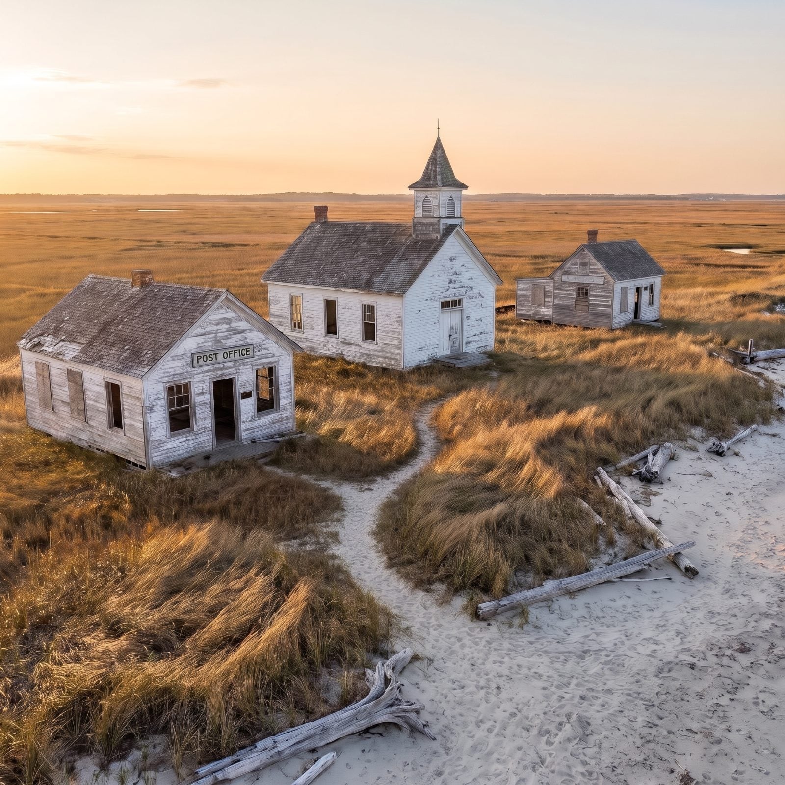
North Carolina established Portsmouth in 1753. At its peak more than five hundred people lived here, working the shipping channel. By 1971 there were three. That year the last two residents left, and the village has stood empty ever since.
The only way out there is by boat. An authorized passenger ferry runs from Ocracoke, and you have to call ahead to book it, because nobody runs on a whim across to North Core Banks. The Park Service keeps the homes, the post office, the life-saving station, the school, and the church. Walk the sand paths between them and you’re walking through a town that simply stopped.
Three people in 1971. Then the last two packed up and the whole village went silent.
Bring bug spray. Bring water. There’s nothing here but the past.
14. Shackleford Banks: Nine Miles of Wild Horses and Nothing Else
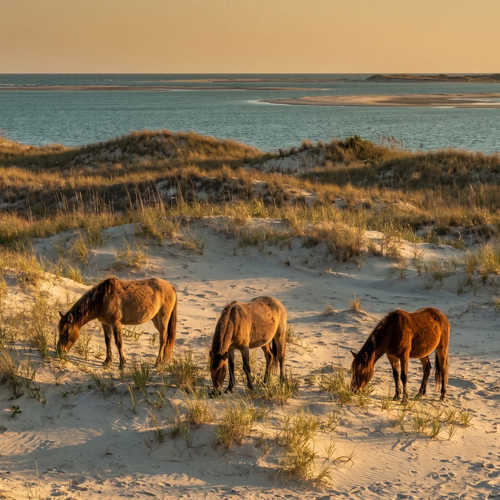
Nine miles of barrier island at the southern end of Cape Lookout National Seashore. No buildings, no roads, no vehicles — just sand, dune grass, and about a hundred wild Banker ponies believed to descend from Spanish horses that swam ashore after a shipwreck in the 1500s.
Island Express Ferry Service is the official Park Service concessioner, running boats from Beaufort to the west end and from Harkers Island to the east. You step off onto an empty shore and you’re on your own. These horses roam where they please, and they’re genuinely wild, so keep your distance and let them be.
13. Cape Lookout Lighthouse and South Core Banks: The Diamond-Painted Beacon
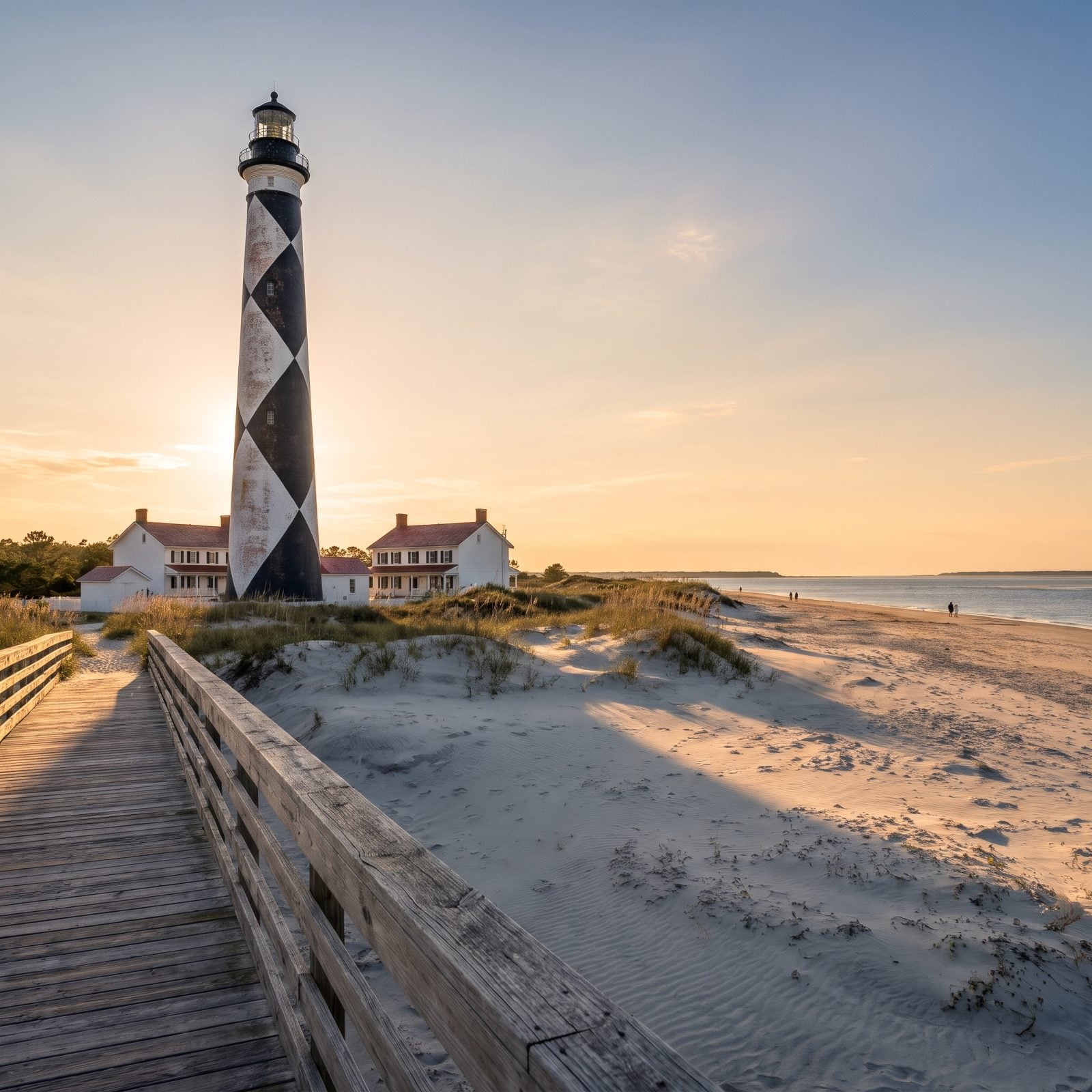
The diamond pattern is the giveaway. No other lighthouse on the coast wears those black-and-white harlequin checks, and you can spot it from a long way off across the water.
Island Express runs passenger ferries from both Harkers Island and Beaufort out to the light station, and the Harkers Island boat lands at a dock near the tower. Want to bring a vehicle? That’s a whole different boat — from Davis to Great Island Cabin Camp on South Core Banks, or from Atlantic to Long Point on North Core Banks. From mid-May through mid-September a beach shuttle truck runs from the station down to the actual point of Cape Lookout, where the sand curls into a hook and the fishing is legendary. Check the seasons before you go. They shift.
12. Harkers Island: Where the Decoy Carvers Still Work
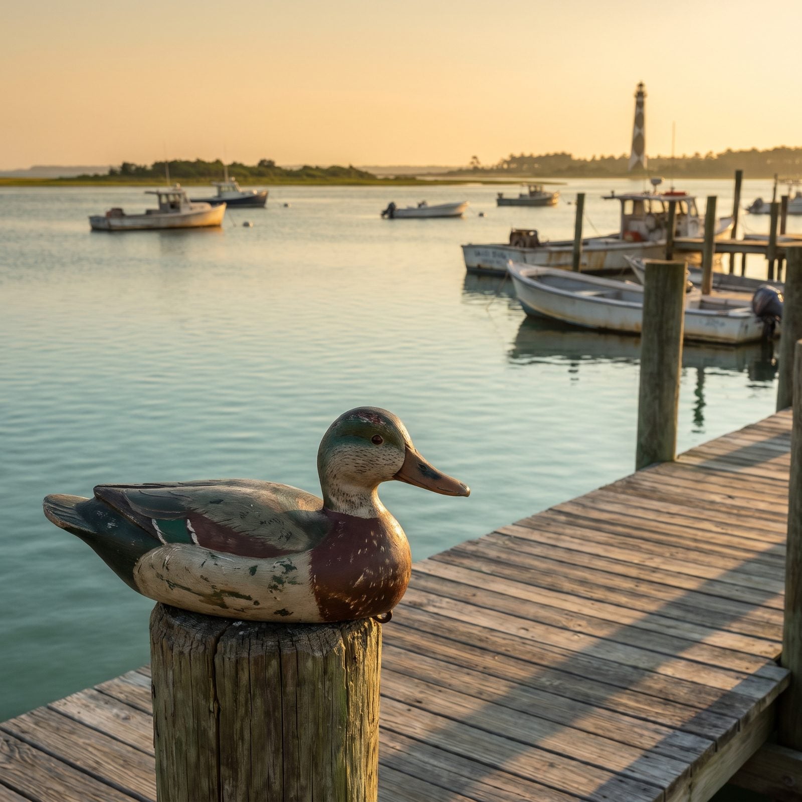
What most people skip: Harkers Island isn’t a destination so much as a jumping-off point. The ferries to the lighthouse and the east end of Shackleford leave from here, and folks blow right through on their way to the boat.
Slow down. The Core Sound Waterfowl Museum and Heritage Center sits at 1785 Island Road, out at the tip, where you can look clear across the sound to Shackleford and Cape Lookout. The whole place honors Down East decoy carving, a craft handed down through families here for generations. Cape Lookout National Seashore keeps its headquarters on the island too, at 131 Charles Street. Stop. Look at the ducks. Somebody’s grandfather carved those by hand.
What Our Readers Say
- Remote doesn’t have to mean empty: Journey Junket readers gave hearts 82% of the time to place photos with a few people in them, versus 75% for the other images in the same articles.
From Journey Junket reader polls and votes.
11. Carova Beach: Air Down Your Tires, There’s No Road In
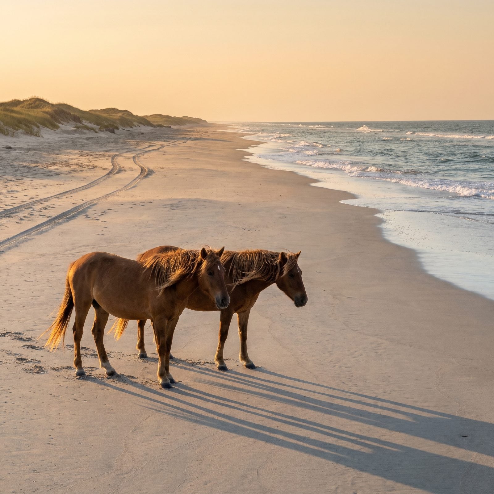
The pavement ends past Corolla, and that’s where Carova begins. No paved road reaches it. You drive north on the beach itself in a four-wheel-drive, and the community proper starts several miles up the hard sand.
This is where the wild horses live — Colonial Spanish mustangs that wander loose through the dunes and yards. Currituck County law says stay at least fifty feet back, and they mean it. No stores, no gas, no restaurants. You bring everything, or you do without. If you don’t own a 4×4, book a guided tour and let somebody else handle the driving.
10. Bear Island at Hammocks Beach State Park: Catch the Ferry or Paddle
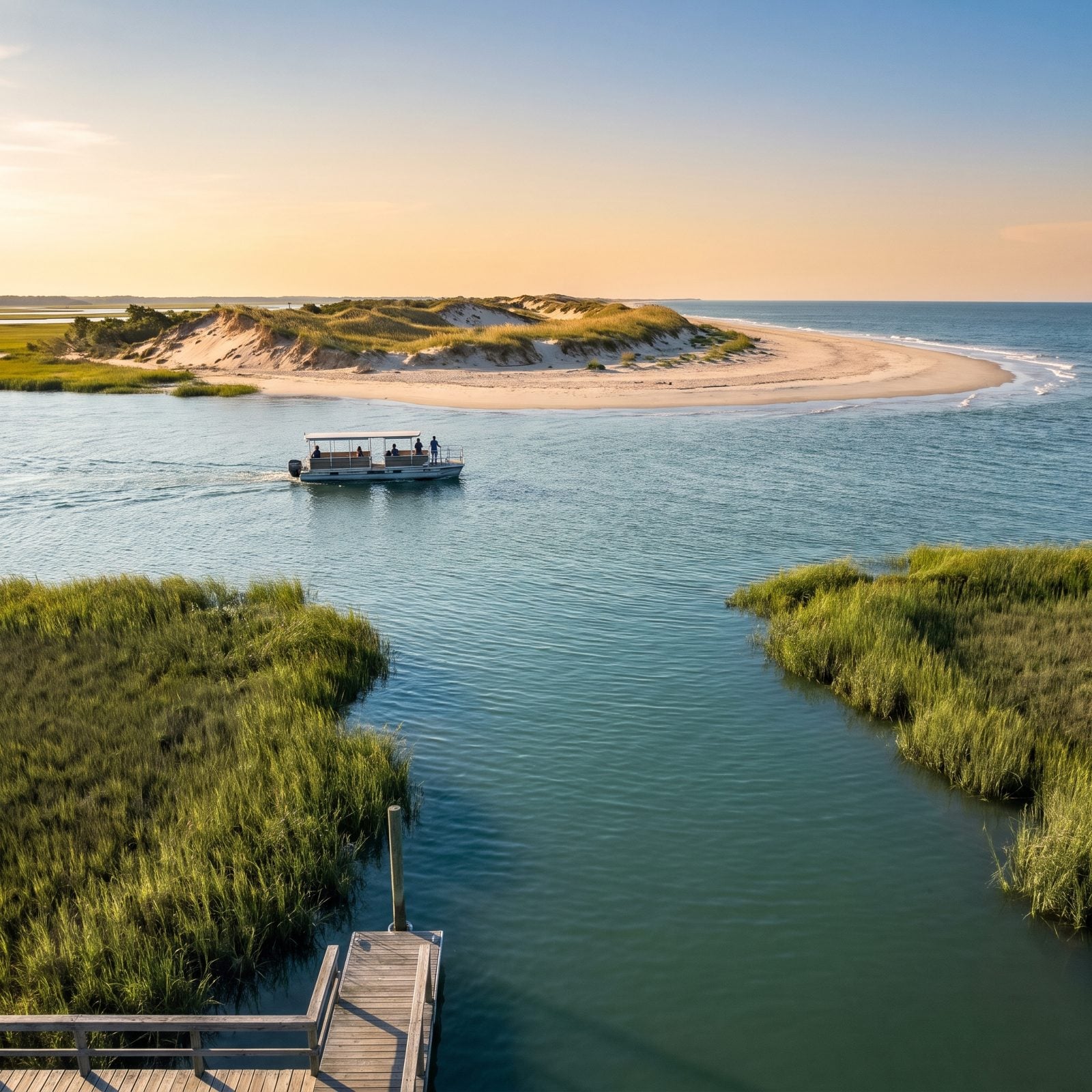
Bear Island is the undeveloped barrier island inside Hammocks Beach State Park, out in Onslow County. You reach it on the park’s seasonal passenger ferry from the mainland visitor center, or you paddle across the marsh yourself.
The 2026 ferry season opened April 3. Tickets are first come, first served, and the park takes no reservations, so get there early on a hot Saturday or plan to wait. The boat runs daily from Memorial Day to Labor Day, which is also the only window when you’ll find lifeguards and concessions. Outside those dates you’re on a wild island with primitive campsites and not much else. Which, honestly, is the best version of it.
9. Masonboro Island Reserve: The Big Empty Between Two Busy Beaches
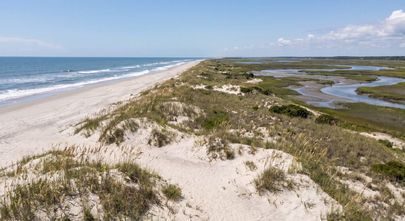
Eight and a half miles long, roughly 5,600 acres — the largest undeveloped barrier island in southern North Carolina, and it sits right between Wrightsville Beach and Carolina Beach, two of the busiest shorelines in the state.
You’d never know it from the water. Masonboro has no bridge, no road, no houses. Boat, kayak, or canoe only, and private operators run paid ferries over if you don’t have your own hull. Sea turtles nest on the beach. Rare birds work the marsh. On a weekday you can walk a long stretch of ocean sand and not see another soul, which for a spot this close to town feels nearly impossible.
8. Bird Island and the Kindred Spirit Mailbox: A Mile and a Half on Foot
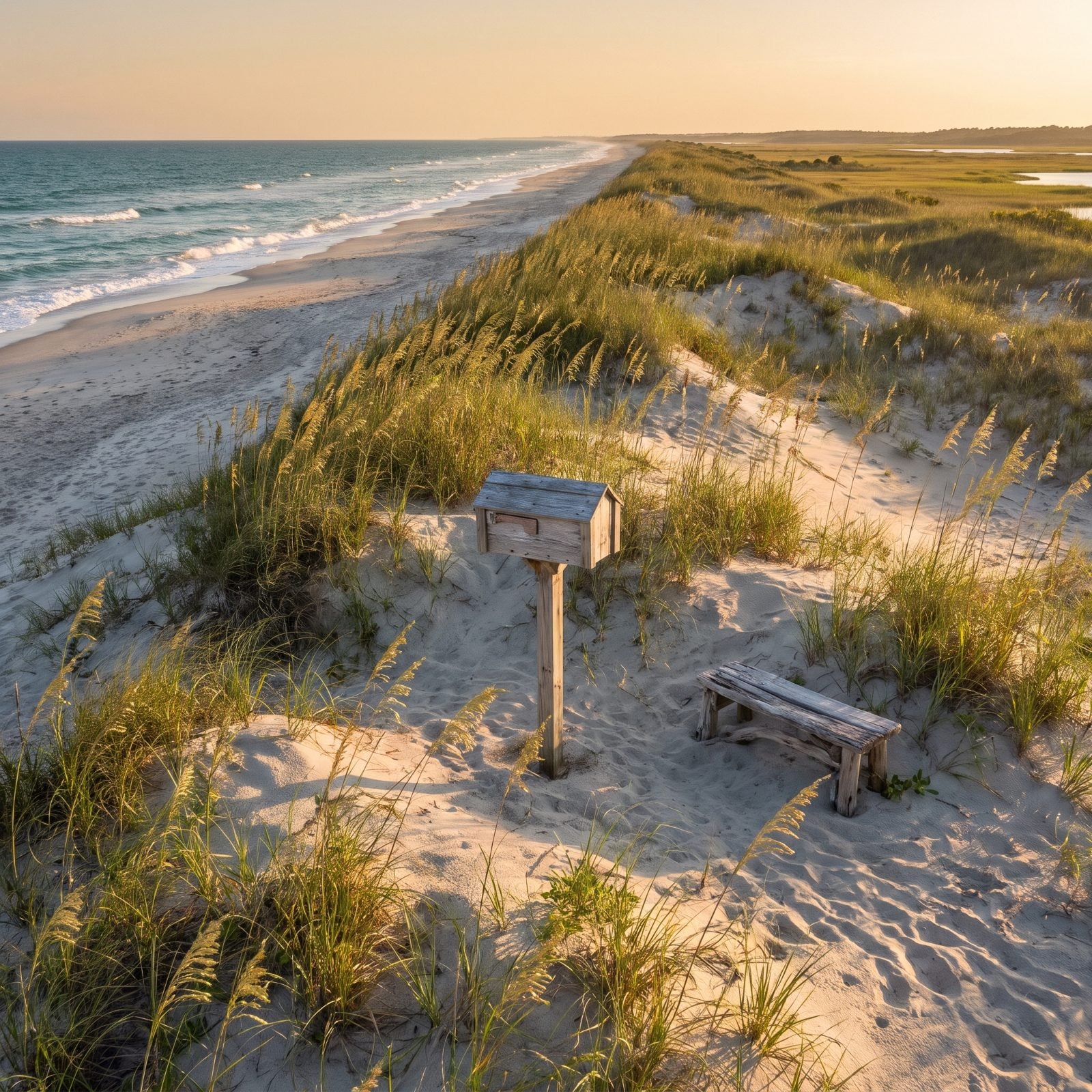
There’s a mailbox in the dunes, and strangers have been leaving their hearts in it for years.
Bird Island Reserve runs 1,481 acres of undeveloped barrier island in Brunswick County — high natural dunes and more than a thousand acres of salt marsh, tucked between Sunset Beach and Little River Inlet. You get there on foot. Start at the 40th Street boardwalk access in Sunset Beach and walk west along the sand. Parking nearby is limited and paid, so arrive with a plan.
About a mile and a half down the beach, the Kindred Spirit Mailbox stands in the dunes. People leave letters inside — confessions and grief and gratitude meant for no one in particular — and anyone can read them. Nicholas Sparks put it in his 2018 novel Every Breath, but it was drawing walkers long before he ever did.
7. Rachel Carson Reserve, Where the Horses Outnumber the Roads
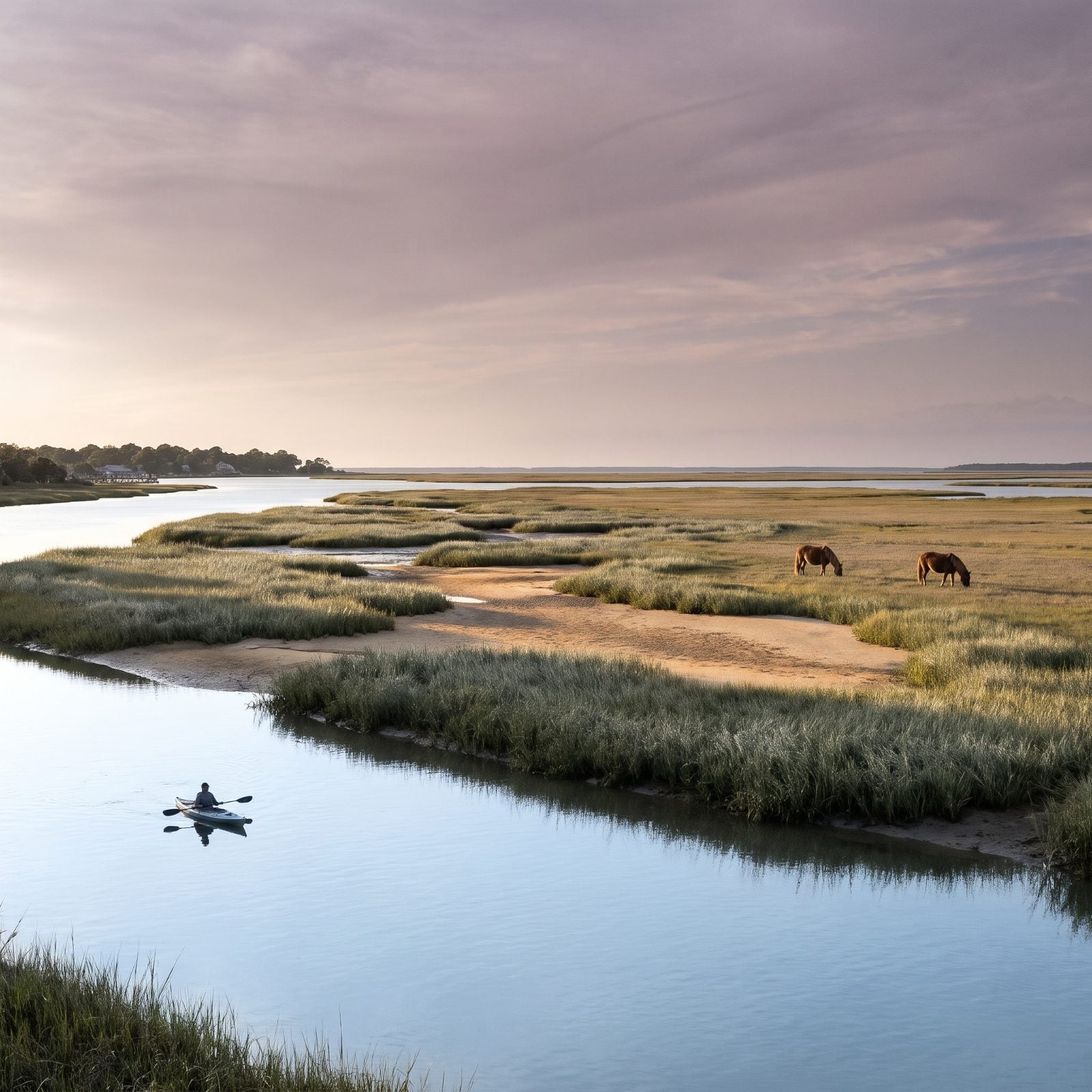
You can see downtown Beaufort from this place, and it still feels like the edge of the known world. The heart of the reserve is a cluster of small islands — Carrot Island, Town Marsh, Bird Shoal and Horse Island — and the only way over is your own paddle or a short boat ride across Taylors Creek.
A small herd of wild horses lives out here on the marsh. Pair it with a morning ferry to Shackleford and you’ll have seen more free-roaming horses than cars before lunch.
6. Cedar Island, the Marsh at the End of the Map
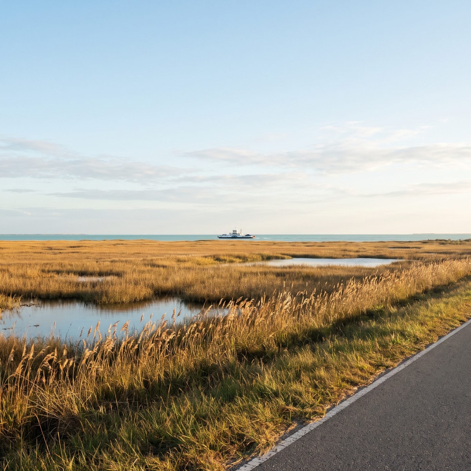
Cedar Island is mostly marsh, and that’s exactly what you come for. The national wildlife refuge, set aside back in 1964, protects a huge stretch of brackish coastal marsh with NC 12 running straight through the middle, so you can watch wildlife without ever leaving your seat.
This marsh holds North Carolina’s largest population of the threatened eastern black rail, a bird most people never hear, let alone see. Come prepared. The mosquitoes work nearly every month of the year, and they’re easy to underestimate.
It’s also where you catch the most popular mainland ferry to Ocracoke, a crossing of roughly two hours and fifteen minutes. Reserve your spot ahead of time.
5. Hatteras Village, the Fishing Town at the Island’s Toe
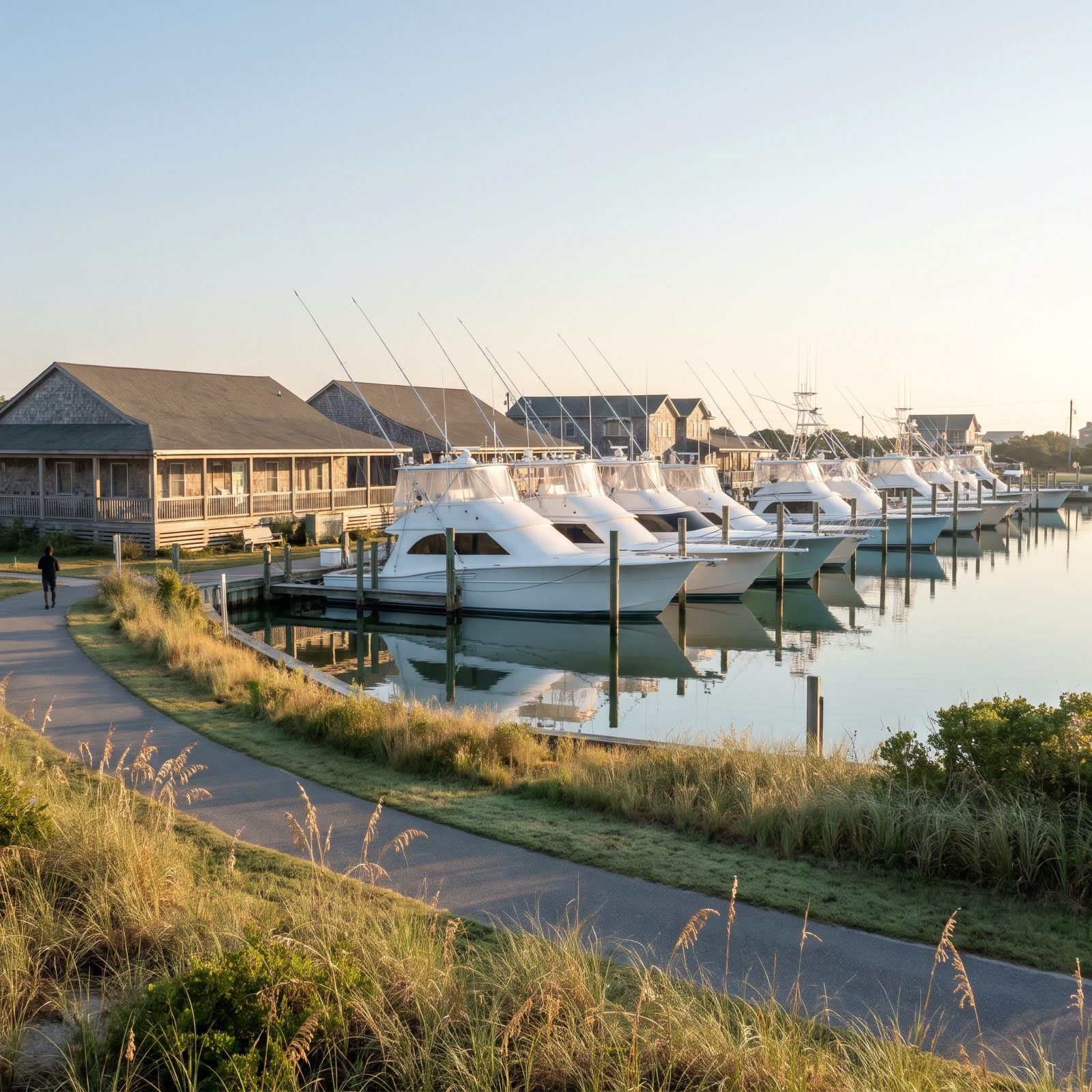
The village sits at the southern tip, inside Cape Hatteras National Seashore, and Dare County knows it best for its fishing heritage and the charter fleet that works out of the harbor every season.
Walk the Graveyard of the Atlantic Museum on Museum Drive for the shipwreck history that earned these waters their nickname. Then stretch your legs on the 3.1-mile path that runs from the north end of the village down toward the Ocracoke ferry docks.
4. Knotts Island, a Free Ferry and a Flock of Migrating Birds
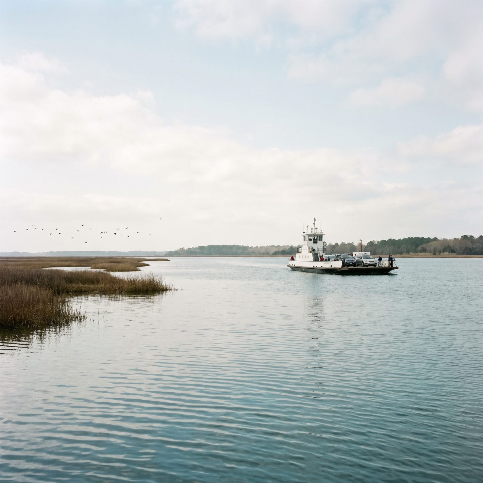
A free NCDOT ferry still carries cars, bikes and walkers across Currituck Sound to Knotts Island, roughly five miles that take about forty to forty-five minutes. No fuss, just a boat on a schedule — though it’s free only through 2026; a $7 one-way vehicle toll is set to begin Jan. 1, 2027.
The island holds Mackay Island National Wildlife Refuge, created by Congress in 1960 to protect migratory birds. Come in the cooler months and the sky puts on the whole show for you.
One catch worth knowing. In October 2025 the ferry ran five departures a day each way, but NCDOT proposed cutting crossings by a steep margin — a move Currituck County pushed back on hard. Check the current schedule before you drive out, because a missed ferry here means a long wait.
3. Oriental, the Sailing Capital Where Boats Outnumber People
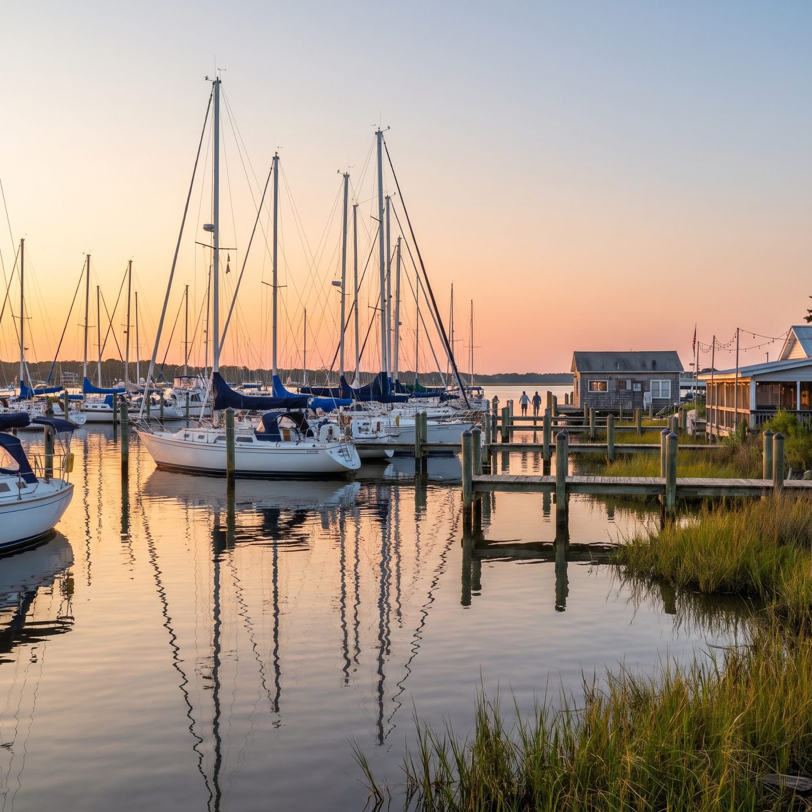
Oriental calls itself the Sailing Capital of North Carolina, and unlike most town slogans, this one holds up — the boats outnumber the people. With 880 residents at the 2020 census, sitting at mile marker 182 on the Intracoastal Waterway, that’s a whole lot of masts for not many front doors.
The downtown is small and walkable, strung with galleries and seafood spots on the Neuse River. Kayak, fish, or bike the waterfront and lose an afternoon without trying.
A town where the harbor has a bigger population than the streets.
2. Manteo, the Quiet Harbor Town on Roanoke Island
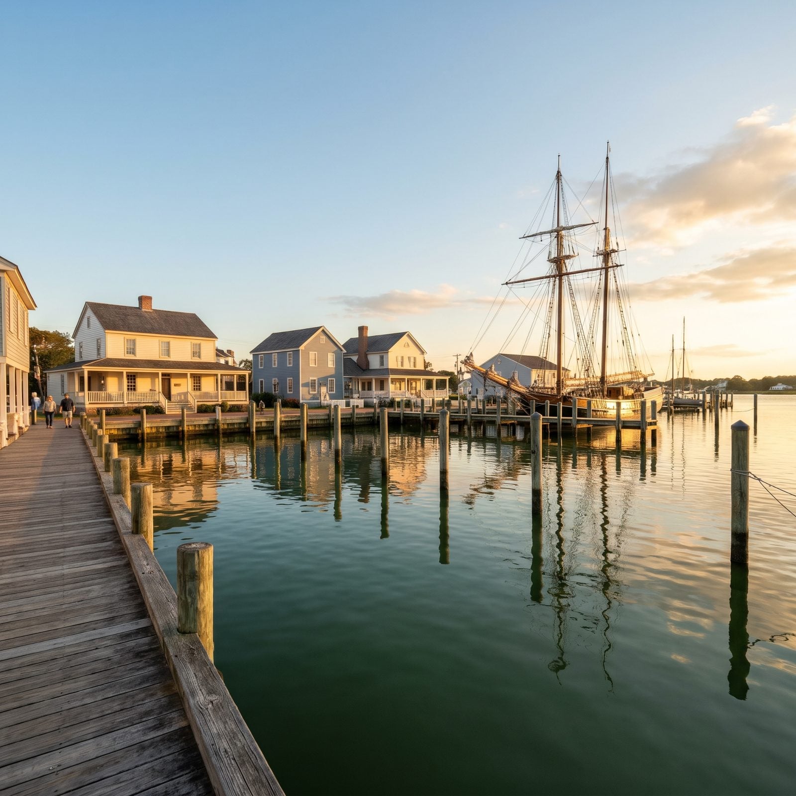
Manteo moves at the pace of its own harbor — which is to say slowly, and on purpose. It sits on Roanoke Island just minutes from the oceanfront bustle of Nags Head, yet feels decades removed. The historic downtown runs along a waterfront where you can stroll, eat local, catch a dolphin tour from the marina, or just watch that sailing ship replica sit patient across the water.
And there’s real weight under the charm. By 1863 Roanoke Island held the Freedmen’s Colony, a community of formerly enslaved African Americans that grew to more than 3,000 at its peak.
1. Colington Island, the Sound-Side Hideaway Most Visitors Drive Right Past
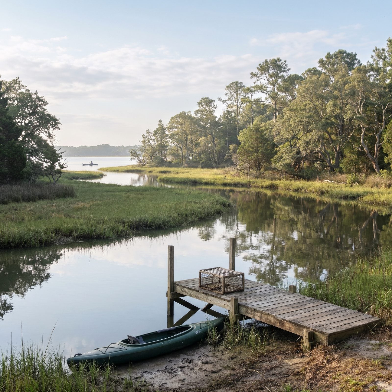
Everybody races to the ocean side. Colington sits quietly to the west, a sound-side island behind Kill Devil Hills that most Outer Banks visitors never think to find. Dare County points people here for kayaking, paddleboarding, boating and sailing, all on calmer water than the surf.
For such a small place, the history runs surprisingly deep. This was the site of the first land grant under Carolina’s Lords Proprietors, made to Sir John Colleton on September 8, 1663, with colonists arriving in 1665. You’re standing on some of the earliest settled ground in the state — and almost nobody around you has any idea.
Please note that some of the imagery in this article were created with the aid of AI image generators.